

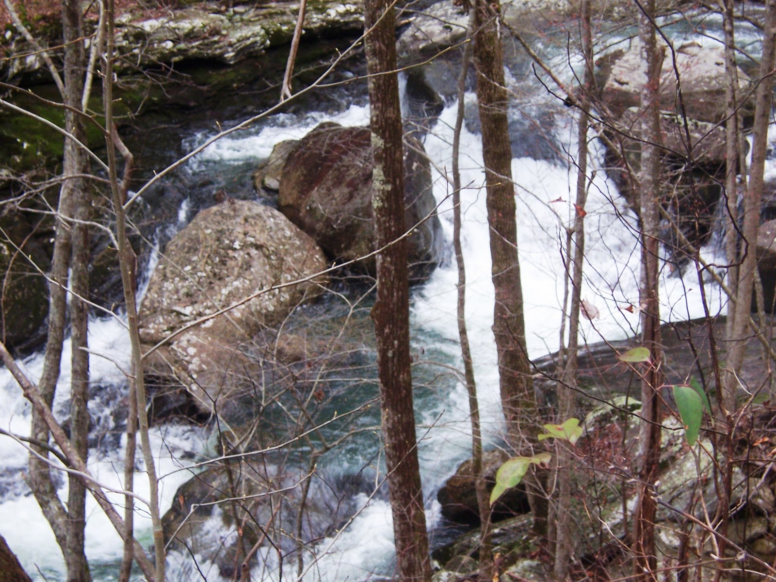
27 hearty souls eventually got together at the trailhead above the city of Dayton for the Laurel-Snow hike on a chilly morning last Wednesday, March 16th. We quickly got our boots on and not so quickly got assembled for our group picture! Included were 2 of Che's grandchildren, Tristan and Raven, and I have to say, these two made the hike so much more enjoyable. Richlands Creek flowed freely and with the recent rains created a frothy display in lots of places as we made our way alongside its' banks.

This picture was taken within yards of the trailhead. All along this part of the path, there are remnants of the coal industry from the turn of the century.


There are numerous places along the path that beg for a picture to be taken! In less than a mile, we were at the sharp right turn that took us up the escarpment at an easy climb, always within sight and sound of the water. At the turn, I found my first spring flower: hepatica.


We meandered at an easy pace until the whole group crossed the bridge and gathered to finally 'place their bet', meaning you had to decide if you were going with the group to Laurel Falls or the group attempting Snow Falls. After hemming and hawing, the Snow Falls group took off with Che and her grandchildren swelling our number to 17. As we started out again by the water, we began to spot more and more wildflowers. This area was particularly rich with trout lily sprouting up, toothwort, hepatica, foam flower, violets and bloodroot. The rocky path we followed soon turned away from the water and we delved into the woods. At times we had to climb over or around tree's that had fallen with huge boulders up on the top of the mountain, standing like stone Indians watching our higgily-piggily line of hikers strung out on the face of the mountain. Then, it was another sharp turn up where we at a steeoper grade and our steady march slowed. We passed the 'cave' rock right before we passed thru the huge 'stone doors'.


We passed through the doors and it dumped us out at an intersection where we turned left. After a short walk, we found a gorgeous overlook where we could see Laurel Falls in the distance and waved to our unseen friends on the other side. Another spat of hiking and we arrived at Buzzards Point (or was it Raven Point?). Here we settled down on the huge rocky promentory and enjoyed our lunch. There was a bite to the wind, but it was still very enjoyable!
After lunch, Deb, Raven, Tristan, and Reggie, followed Wayne down a ravine between the largest rocks at the lunch spot to get a look at the drawings on the rocks down under. There was grafitti drawn, as well, which took away from the site, but there was definitely a drawing to view. Wayne has been told they are Indian and very old.
Finally, we got the group together and took off again in search of a crossing to Snow Falls. We crossed under power lines and a stubbly sage grass field and into the woods again. After some hiking, we wound back and found ourselves at the creek crossing that proved too much for most of the group. But Tristan, Raven, Richard, and Deb jumped in and crossed over to find their way to the falls. The others high-tailed it back up to loop back to the 'stone door' and back down the same trail we had hiked in on. Che surmised that we hiked approximately 10 miles.
The following pictures show much of our hike.


Reggie,
ReplyDeleteAgain, you seemed to have captured it all with your beautiful, descriptive writing and the lovely pictures that tell the real story. However; my body is still trying to recover. Thanks to John and Che' Che' for planning this special hike again this year!
Arlene
Arlene, I got it! Thanks!
ReplyDelete