Showing posts with label Cumberland Trail. Show all posts

Tuesday, March 22, 2011

Laurel-Snow on the Cumberland Trail; Divide and Conquer

27 hearty souls eventually got together at the trailhead above the city of Dayton for the Laurel-Snow hike on a chilly morning last Wednesday, March 16th. We quickly got our boots on and not so quickly got assembled for our group picture! Included were 2 of Che's grandchildren, Tristan and Raven, and I have to say, these two made the hike so much more enjoyable. Richlands Creek flowed freely and with the recent rains created a frothy display in lots of places as we made our way alongside its' banks.


This picture was taken within yards of the trailhead. All along this part of the path, there are remnants of the coal industry from the turn of the century.


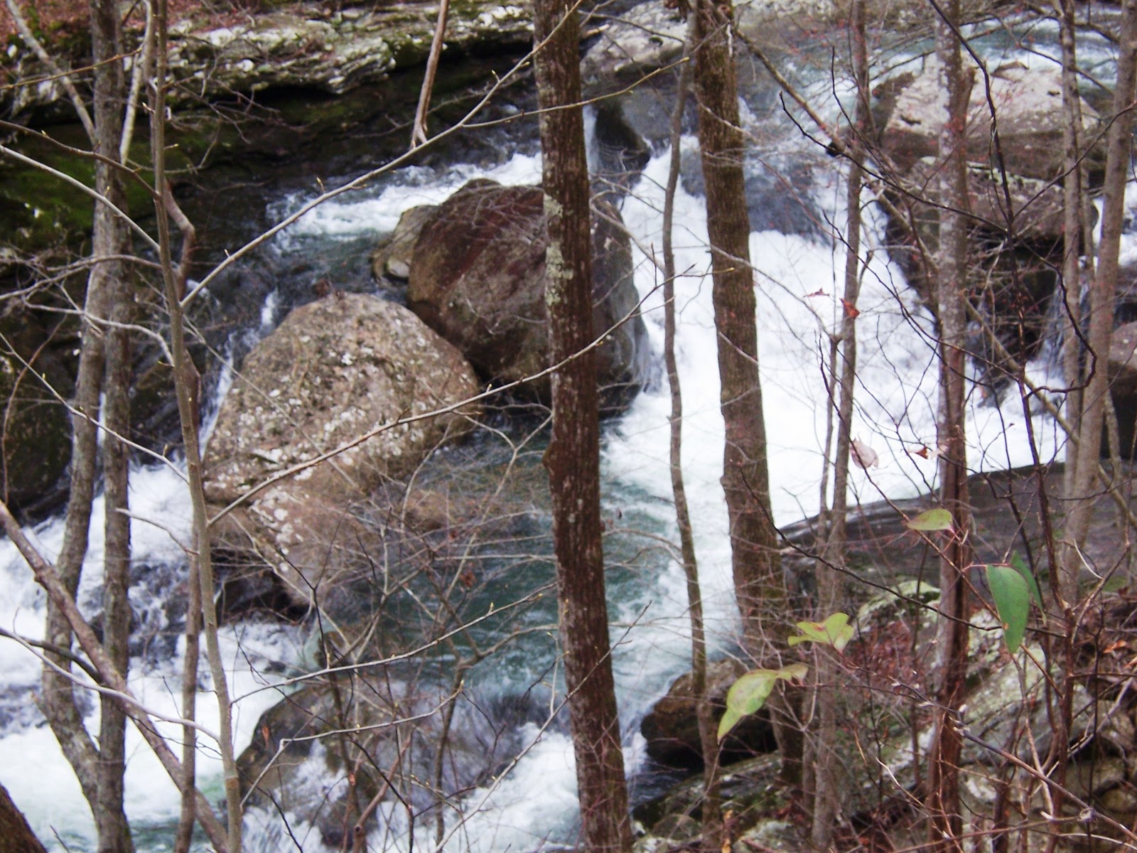
There are numerous places along the path that beg for a picture to be taken! In less than a mile, we were at the sharp right turn that took us up the escarpment at an easy climb, always within sight and sound of the water.  At the turn, I found my first spring flower: hepatica.


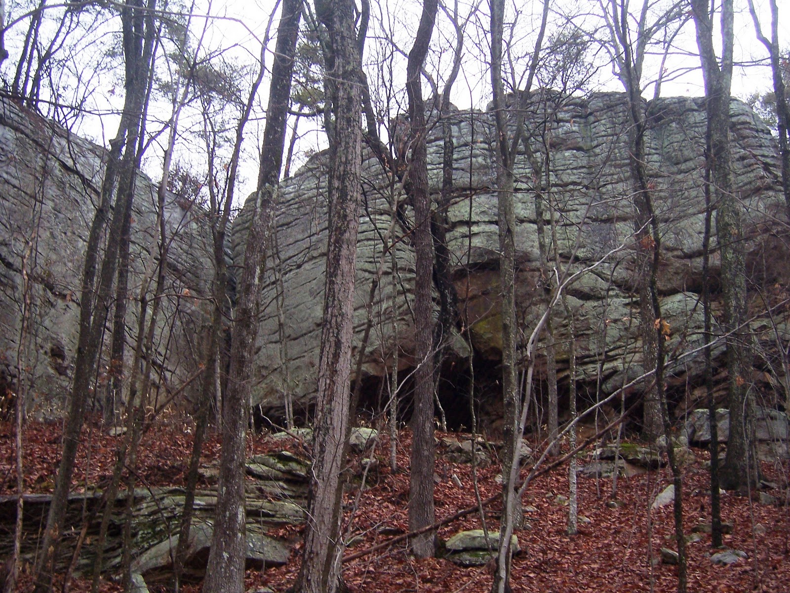
We meandered at an easy pace until the whole group crossed the bridge and gathered to finally 'place their bet', meaning you had to decide if you were going with the group to Laurel Falls or the group attempting Snow Falls. After hemming and hawing, the Snow Falls group took off with Che and her grandchildren swelling our number to 17. As we started out again by the water, we began to spot more and more wildflowers. This area was particularly rich with trout lily sprouting up, toothwort, hepatica, foam flower, violets and bloodroot. The rocky path we followed soon turned away from the water and we delved into the woods. At times we had to climb over or around tree's that had fallen with huge boulders up on the top of the mountain, standing like stone Indians watching our higgily-piggily line of hikers strung out on the face of the mountain. Then, it was another sharp turn up where we at a steeoper grade and our steady march slowed. We passed the 'cave' rock  right before we passed thru the huge 'stone doors'.


We passed through the doors and it dumped us out at an intersection where we turned left. After a short walk, we found a gorgeous overlook where we could see Laurel Falls in the distance and waved to our unseen friends on the other side. Another spat of hiking and we arrived at Buzzards Point (or was it Raven Point?). Here we settled down on the huge rocky promentory and enjoyed our lunch. There was a bite to the wind, but it was still very enjoyable!

After lunch, Deb, Raven, Tristan, and Reggie, followed Wayne down a ravine between the largest rocks at the lunch  spot to get a look at the drawings on the rocks down under. There was grafitti drawn, as well, which took away from the site, but there was definitely a drawing to view. Wayne has been told they are Indian and very old. 

Finally, we got the group together and took off again in search of a crossing to Snow Falls. We crossed under power lines and a stubbly sage grass field and into the woods again. After some hiking, we wound back and found ourselves at the creek crossing that proved too much for most of the group. But Tristan, Raven, Richard, and Deb jumped in and crossed over to find their way to the falls. The others high-tailed it back up to loop back to the 'stone door' and back down the same trail we had hiked in on. Che surmised that we hiked approximately 10 miles. 

The following pictures show much of our hike.  


Tuesday, March 1, 2011

Rock Creek on February 23rd

We can't do the Cumberland Trail without Don Deakins and the Cumberland Trail Volunteers, and such was the case on Wednesday when their group combined with ours to swell the number to 32! We met at Leggett Road and shuttled over to Retro  Huges Road. From here, we huddled for a group picture and that was the last time we were all together! Richard a/k/a Rabbit took off with Wayne, Larry, Stormy, Karis, and others. Soon, they were way ahead and we didn't see them again until we stopped near the end of the hike for lunch.

A couple of miles in, we had passed beautiful rock formations, pine woods, and rhododendrom thickets as we descended into Rock Creek Gorge. Fortuately, there was a ladder to climb a small bluff which took us down a trail to the very nice 80-foot Rock Creek Bridge. We climbed up and turned right before slowly descending to a trail that followed the creek for a distance, passing a comfortable looking campsite to the right. We passed Leggett Branch with the cascades to the left. There were huge rock formations all along the trail, inviting exploration; someday! We passed several wooden bridges: Rocky Branch Bridge, Flat Branch Bridge, and then Boiling Springs Bridge. We had a great scenic spur at Rock Creek Overlook.


After crossing Boiling Springs bridge, we began a gradual but steady climb to ascend to the Rock Creek Loop Trail. After reaching the top, we turned right and met Richard, Stormy, and Karis.


They had their lunch and some interesting conversation (later reported!) and had to take on off to get Richard back early. The late-comers hiked 1.5 miles down to Leggett Point and enjoyed lunch on rock outcroppings with the sun warming the area.


 It was a real treat after many lunches in the cold weather this last winter. Finally, we headed out and very soon reached the Upper Leggett Road Trailhead where cars were waiting to shuttle those that needed to back to Retro-Hughes Road.

Friday, January 21, 2011

4.9 Segment of the Soddy Gorge on the Cumberland Trail

After a couple of weeks off due to the snowy weather, we had a revved up and ready 17 turn out to follow Don Deakins from the Cumberland Trail Volunteers on this portion of the Soddy Gorge. We shuttled over to start the trail on the newly constructed trailhead at Mobray Road. We were soon in the woods hiking on a trail covered with soft pine needles (Trish loved it!) Before you could say Cumberland Trail (almost) we were on the top of the ridge where the power lines crossed which provided a nice view of Soddy-Daisy area and the valley below.

Delving further into the woods, we crossed a rocky area near Mikel Creek that even in winter is a very scenic spot. We crossed the Creek, turning right and followed it for a distance and then found ourselves passing through the rocks at the amazing Little Indian Stone Door. Once through, there is a 'rock house' area to the left.

This, alone, is reason enough to work this portion of the Soddy Segment into your must-do hikes!


We continued along a ridge with tantalizing brow views to the right and enjoyed huge rock formations all along the trail on our left.
This view of a rock literally split by the life force of a tree is one of the reasons hikers love to get out and view nature.


A cascade of Partridge Berries growing on these rocks!


Descending this area, we found ourselves climbing up to Clemmons Point to follow the ridge where we encountered remnants of the coal minining industry so prevalent in this area from years gone by. We were actually on top of an old shale pile for a short distance with the mine cut off to our left.

Again, we descended this ridge to find ourselves hopping across a passage of Little Soddy Creek. Across the creek, there were some interesting foundations of the mining industry still visible, inviting exploration on another day. We ascended the nicely placed rocks to find the kiosk placed at the end where we found ourselves at Hotwater Road. Debbie, Wayne, and maybe a couple of others, backtracked and crossed Little Soddy to head up the ridge on that bend to wait on vehicles to pick them up on their way down to Mobray Road.

A very nice 4.9 mile hike with some fantastic folks! Most of us ended the morning with lunch at Rafael's..not exactly health food, but, hey, ya gotta have some kind of vice! The Trail Chronicler has decided that for this group..it's food!

Spider Den Bluff With Cumberland Trail Volunteers

Yes, it was cold, but it didn't stop 21 (I think!) of us from making the trip to Piney River for a 6.5 mile round trip to and from the Spider Den.  After shuttling to the trailhead at Newby Branch Campground, we filed into the woods off to the right. Soon, we crossed a small bridge over the Branch and turned left, following the water until we turned away and crossed down a ridge to the Duskin Creek Bridge.

From here, we turned left and headed up and then down to wind alongside the tinkling creek. White Pine Cascades provided a spectacular view as we rushed by on the way up to the Spider Den turn down.

Wayne, Richard, and newbyTim reached the bottom and were searching for the 'rock' chairs and 'rock' table which were to be our lunch spot by Duskin Creek. Eventually, we found it and by the time the group arrived in spurts, the others had built a great fire. (Without Bob!!, but Bob, I'm sure it would have been better if you had done it!)


We enjoyed the warmth of the fire with our chocolate treat provided by Che and had some interesting conversation, institgated by Richard, surprise, surprise.


Wayne and Pete searched out the bluff with hanging icicles before we put the fire out and headed back.

Thursday, October 21, 2010

Soddy Gorge on October 20th...9 Miles or Bust!

The morning was a bit overcast as 24 of us met at Jones Gap Rd. off Hwy #111 to figure out the shuttle to the trailhead. Don Deakins tackled the job and eventually we followed like lemmings to the end spot off the highway, left a few vehicles, then headed over to Hot Water Road where the trailhead began. By now, the clouds were gone and the blue sky overhead boded well for our day. Soon, a long line of bobbing heads undulated along the trail. The rain from the night left the ground dampened, but also the woods smelled fresh as we weaved along the ridge that took us up and then down a nice set of rocky steps and on around the mountainside. As a foretaste of what we would see over and over again, we came out at a huge rock outcropping, so typical along the Cumberland, and continued on.

The woods didn't shout their beauty, the colors did all the bragging..muted oranges, shades of green, sweet yellows, and bursts of crimson adorned our views all the way. By the time we finally got to Deep Creek, we were lulled into a sense of ease. But, here we soon braced for a tricky climb down the slippery rocks. As usual, the guys in our group jumped in to make sure the ladies made it down safely. (Don't we have some nice guys in our group?!) We took our time and then we were on the other side for a huff and puff climb up out of the gorge. Our reward was a another spectacular rock outcropping that extended all along the ridge with beautifully formed ledges that begged for exploration. We passed the coal shaft where the posts were stiff visible and the darkness yawned.

After another careful climb down into Soddy Gorge, there was another scramble up to the top of the ridge with more gorgeous outcroppings. Along the way, the Chronicler spied mysterious dark openings in the rocks, knotty growths attached to trees like nubby appendages, and intricate webs designed by spiders seeking prey...and all with wonderful hiking buddies!

Lunchtime was delayed a bit when it became obvious we weren't going to get to the assigned spot until well after folks needed to eat, so a few of us just stopped at an inviting spot to eat while the others who were already ahead continued on and ate lunch where they were. Alas, we were never rejoined until the end of the trail. But what a fantastic day! 9 moderate to strenuous miles, but a great hiking day!